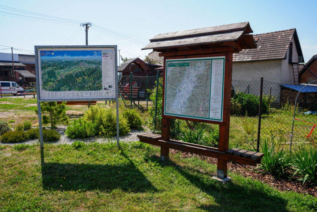
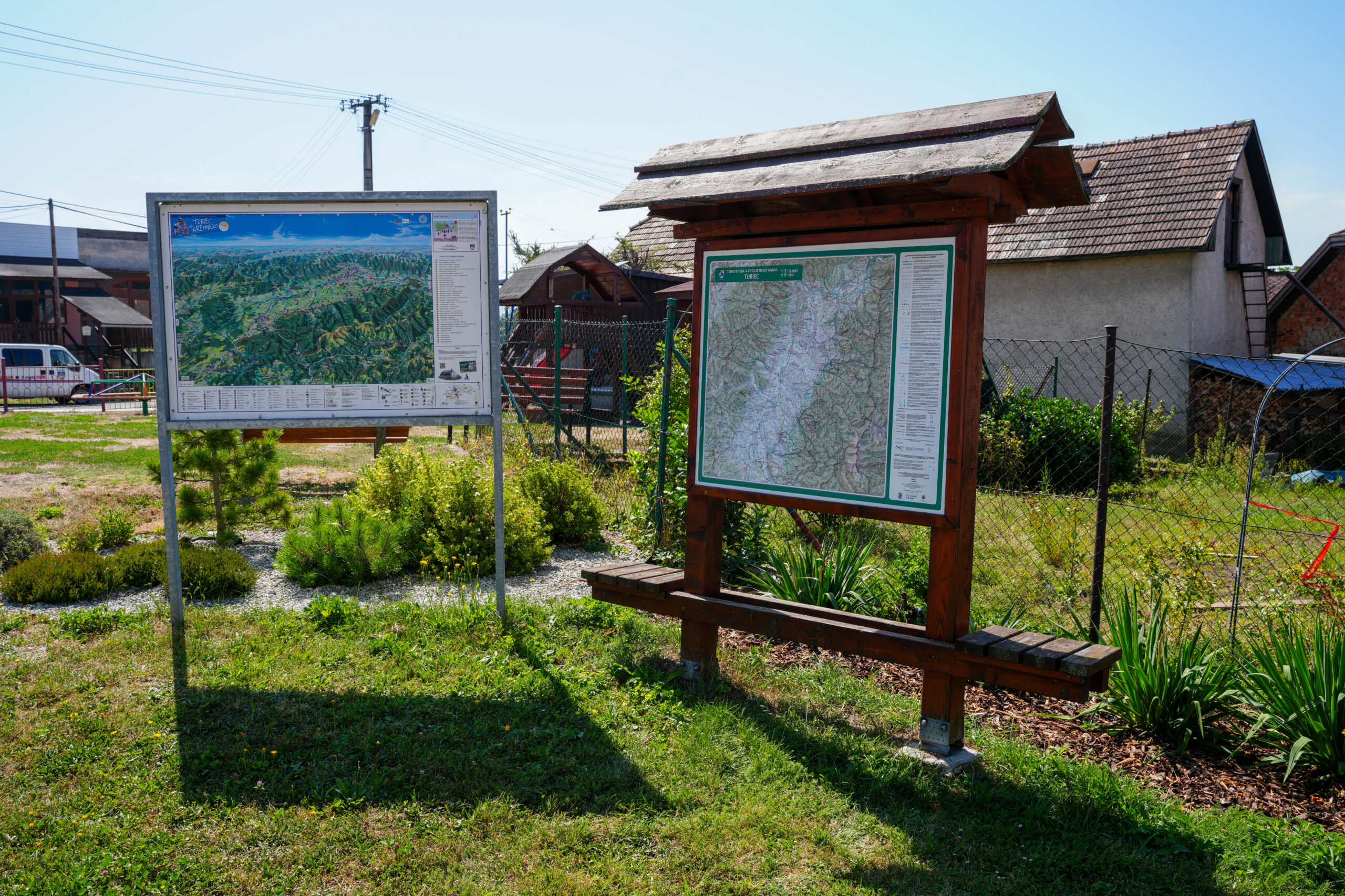
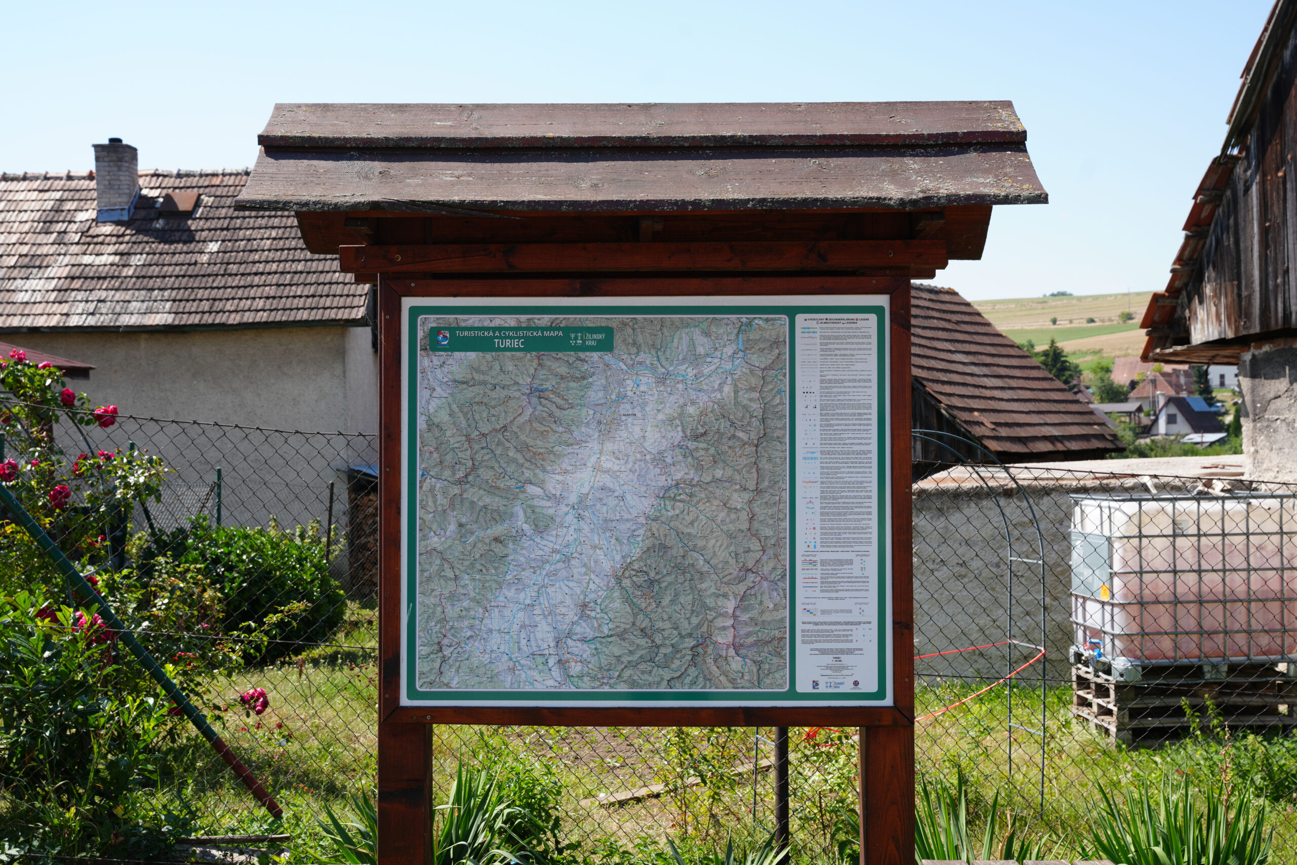
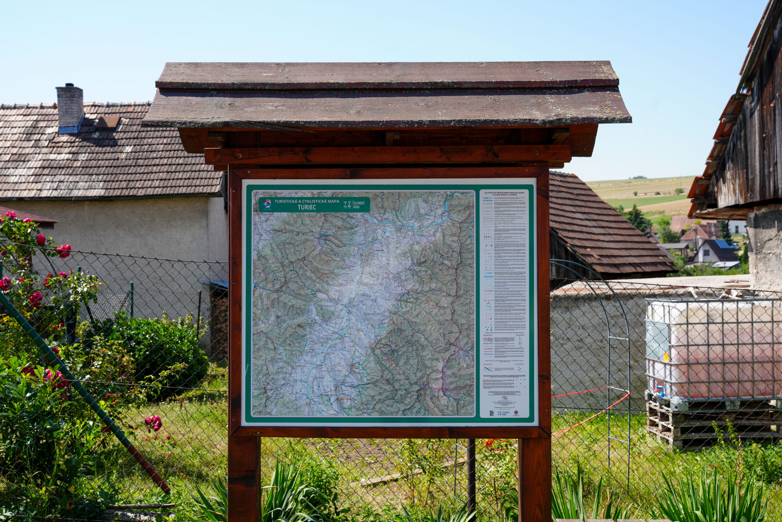
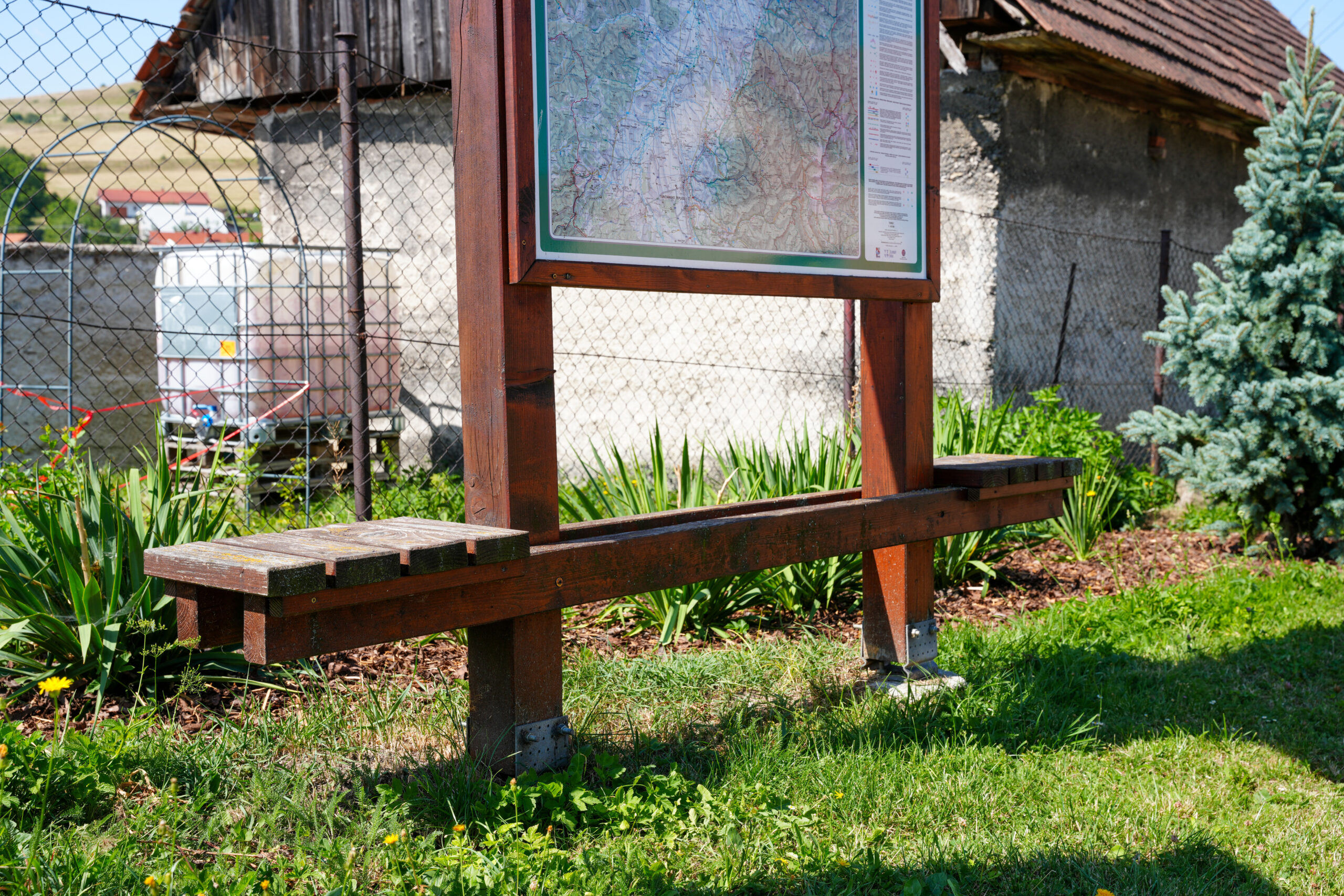
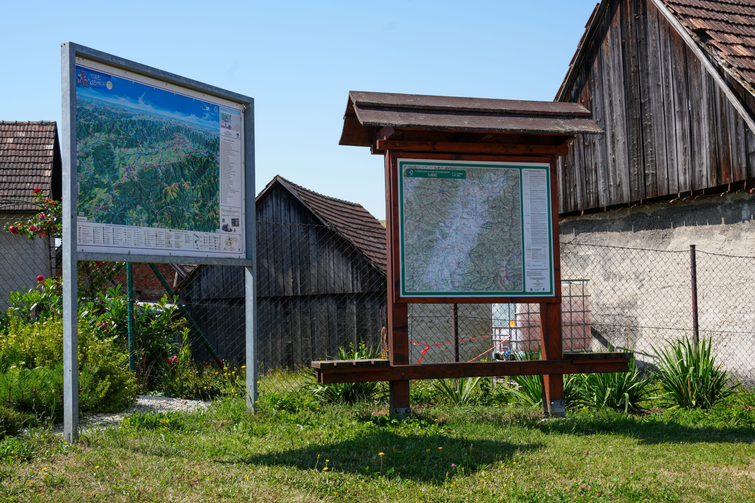
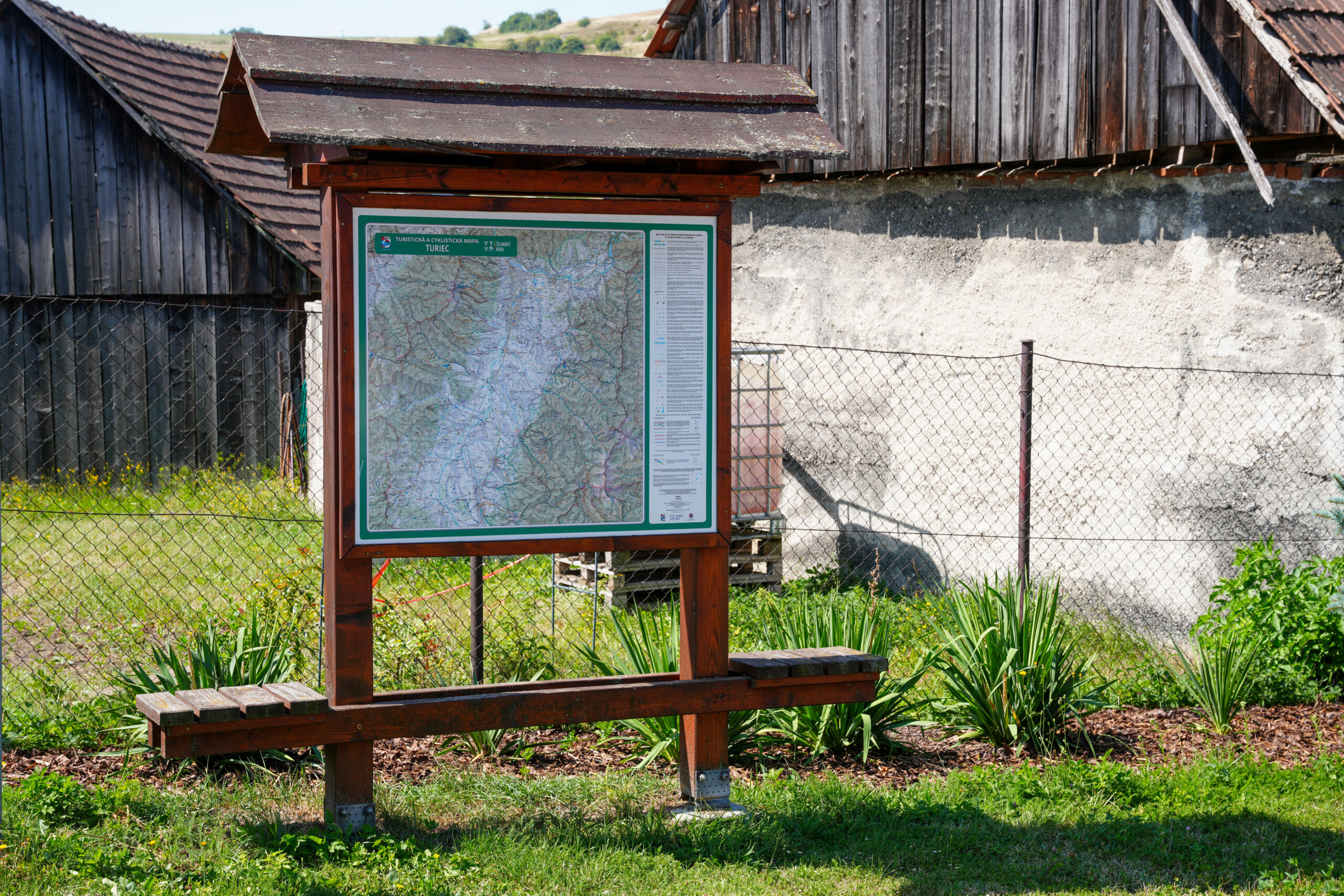
For Žilina Self-Governing Region we carried out the production, permitting and installation of large-format maps in tourism-focused regions Orava, Liptov and Turiec. The project focused on supporting visitor orientation in the area and improving access to information about cycling and hiking trails.
Our task was to manage the complete process, from preparing map materials, graphic design and prepress to the production, transport and installation of map stands at selected locations. The project also included obtaining the necessary consents from the owners of the affected land and notifying the relevant building authorities of the minor construction.
The solution combined map content, graphic design, production of outdoor elements and on-site implementation into a functional orientation system for visitors to the region.
The result was an orientation system of large-format maps supporting a clear overview of hiking and cycling trails in the regions of the Žilina Self-Governing Region. The project combined graphic preparation, production, the permitting process and on-site installation into one comprehensive implementation.