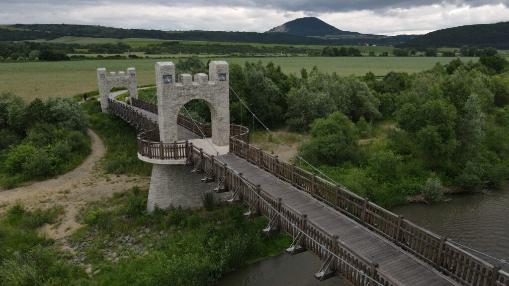
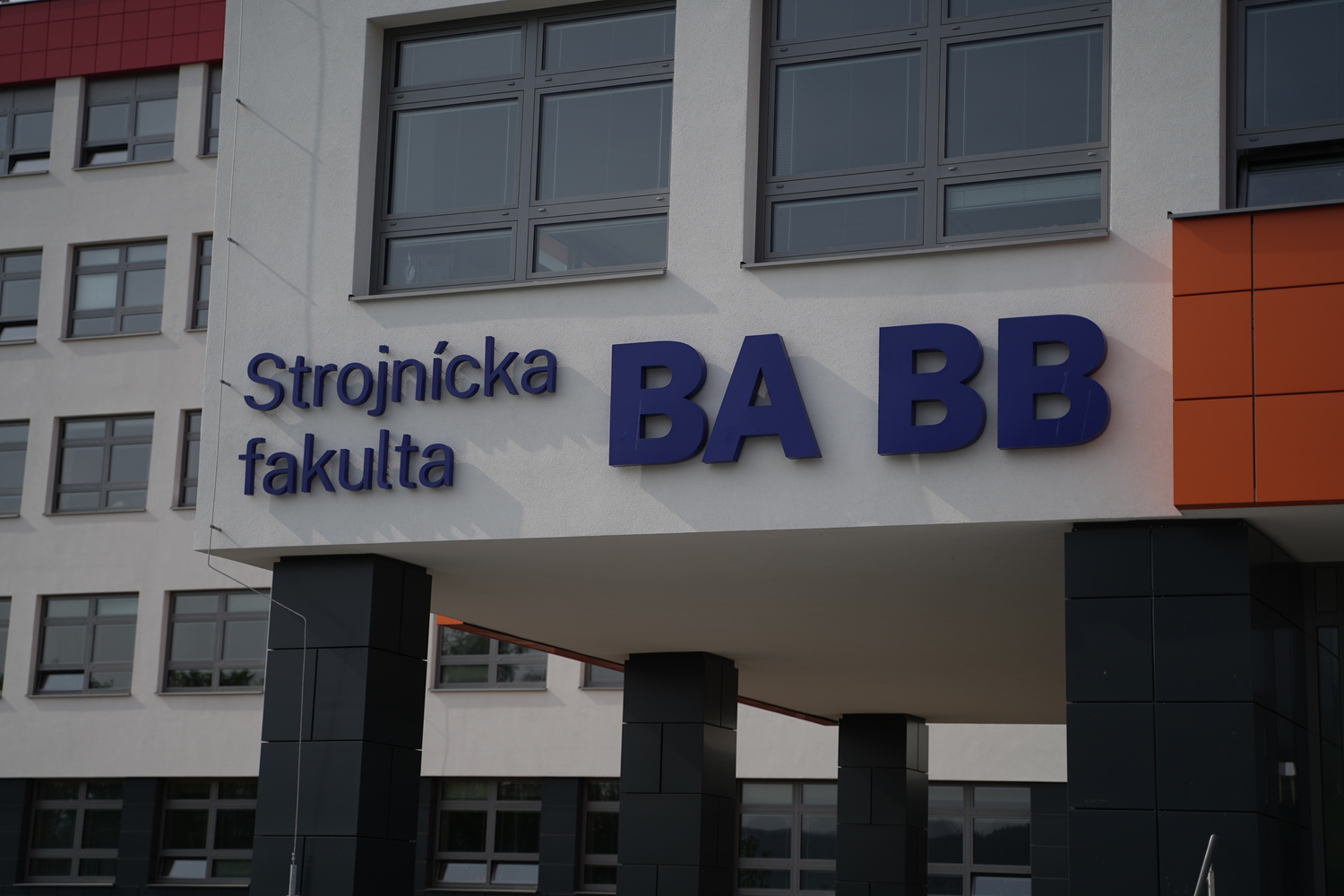
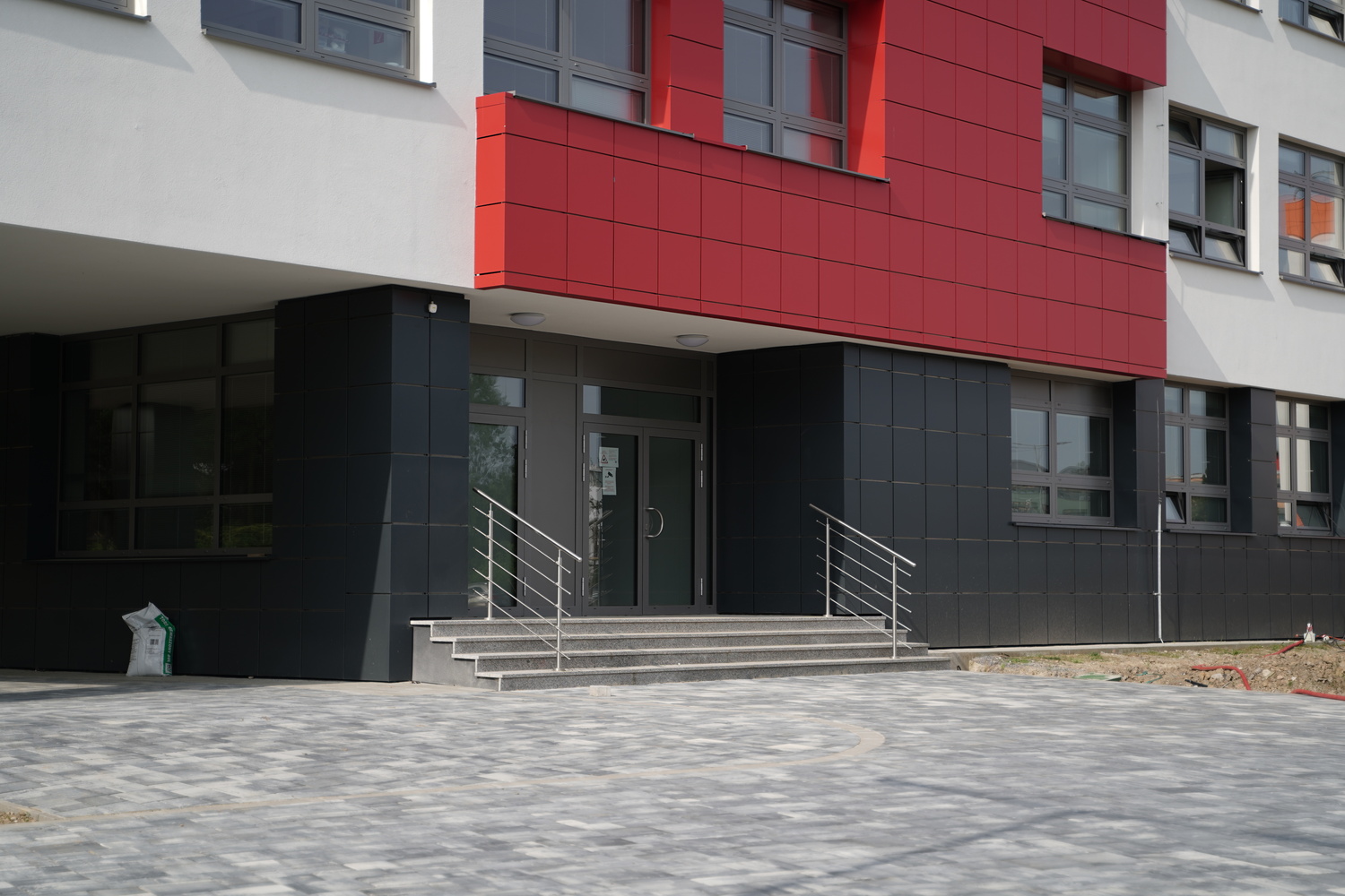
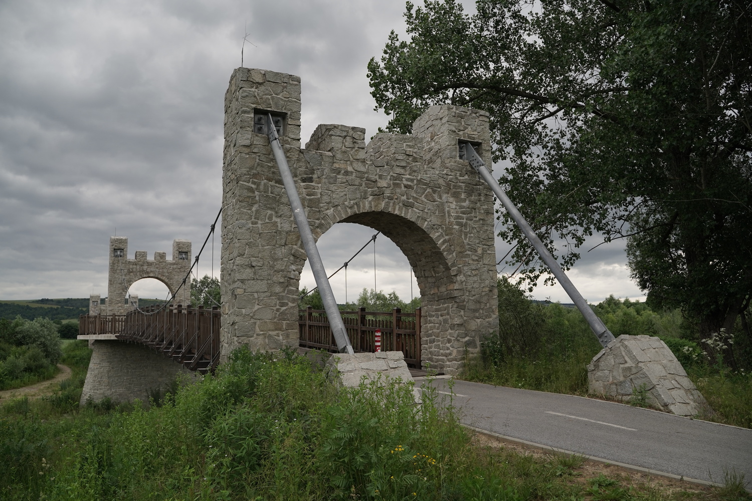
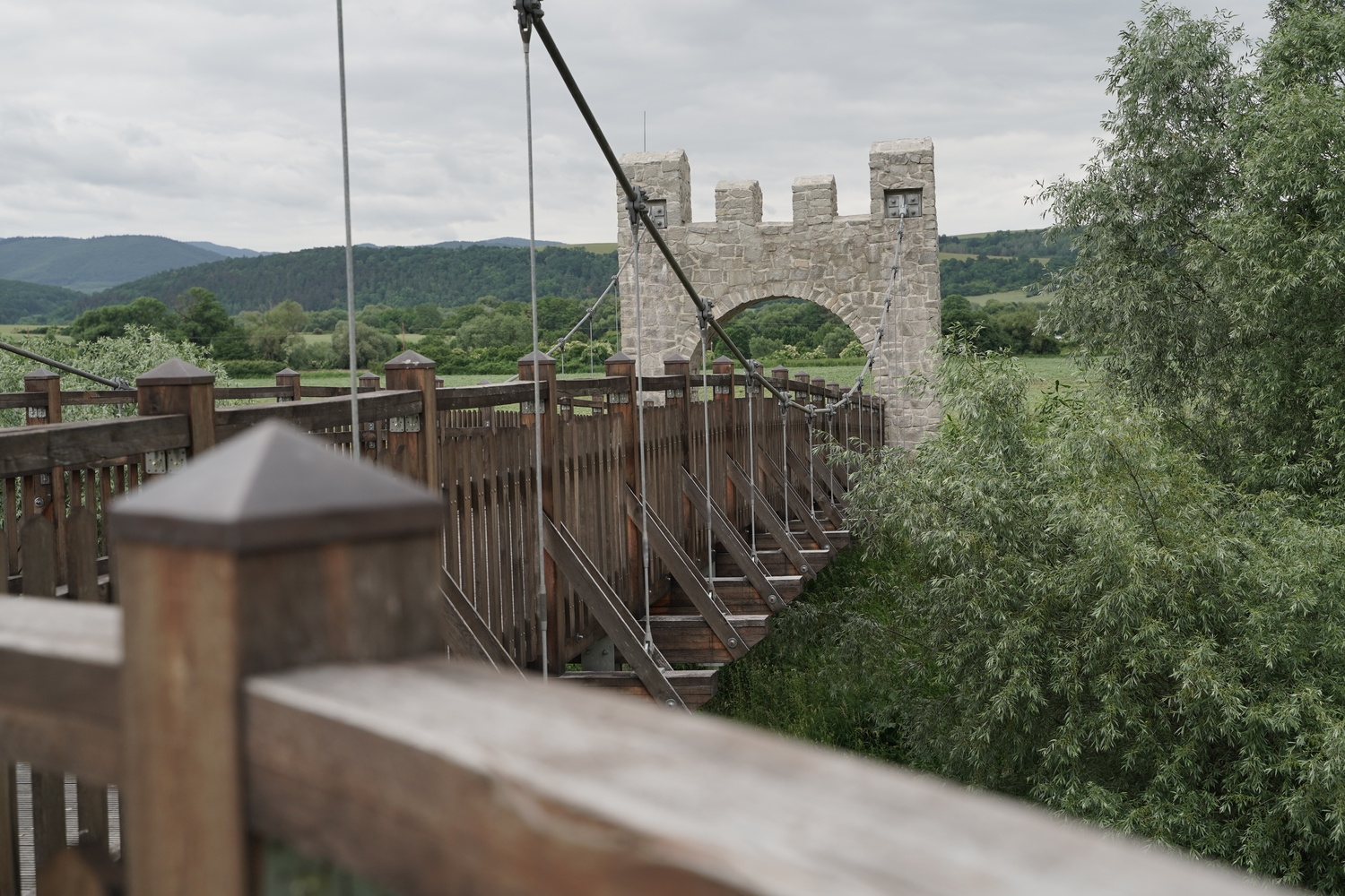
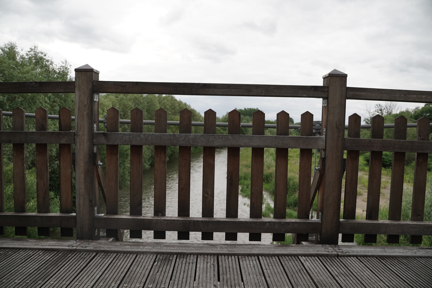
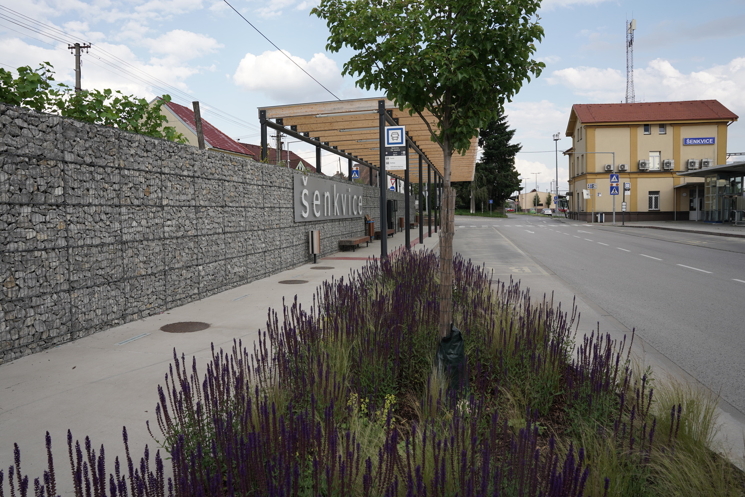
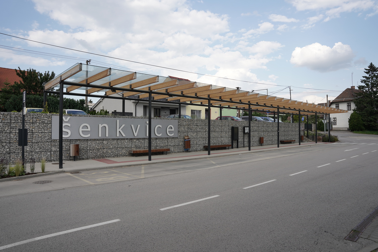
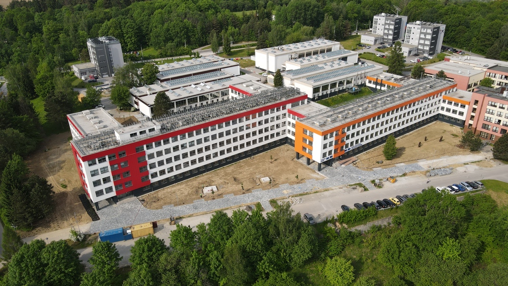
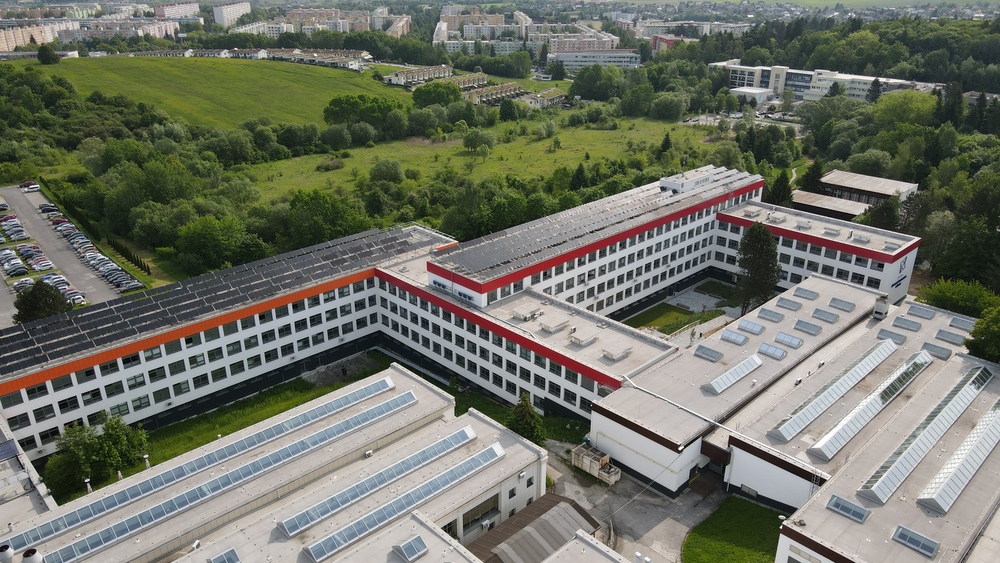
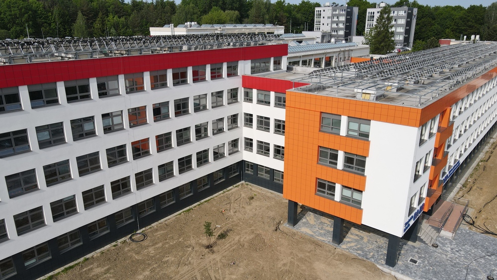
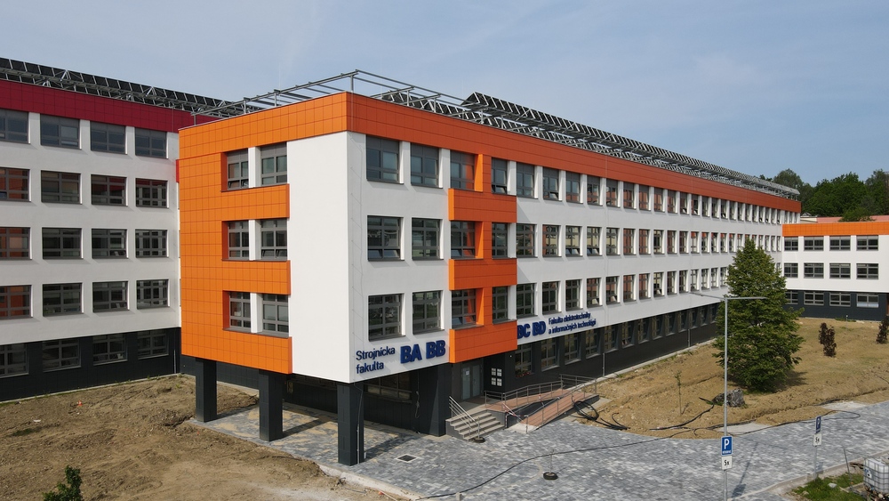
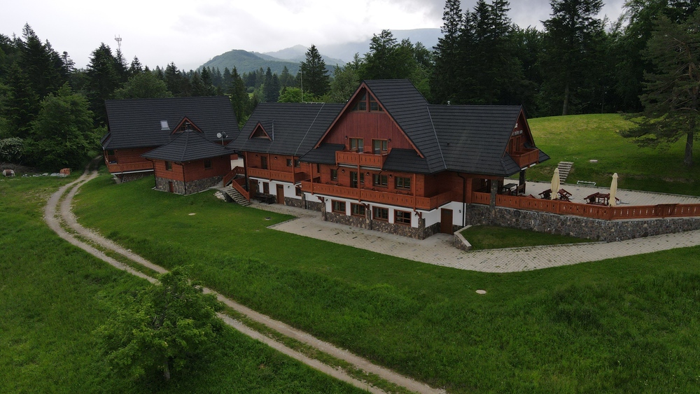
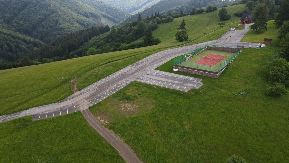
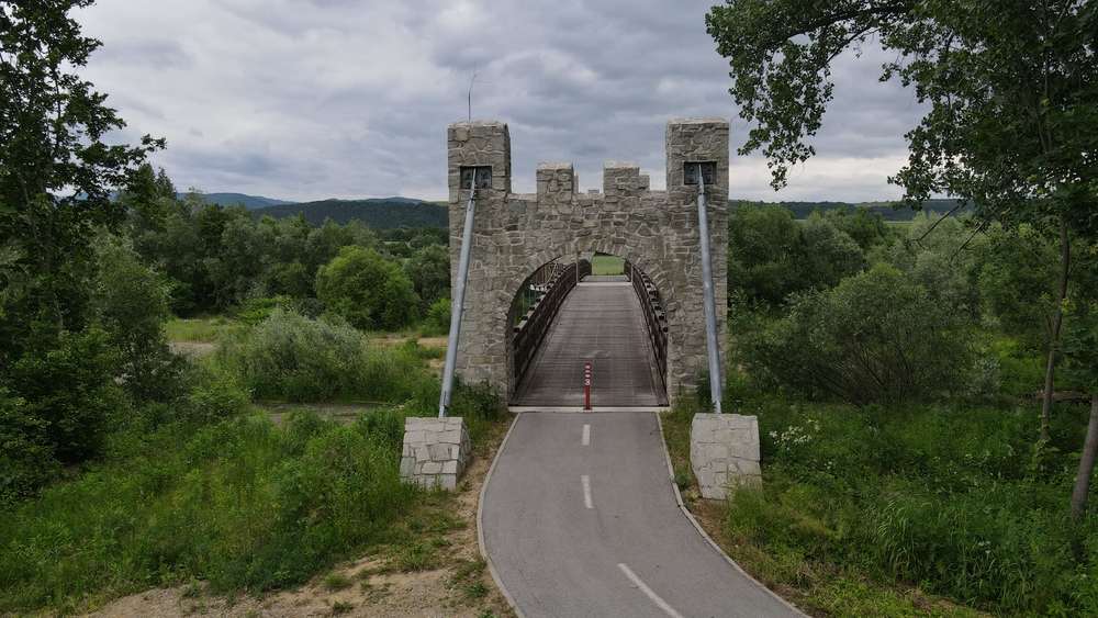
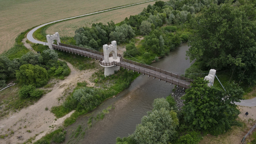
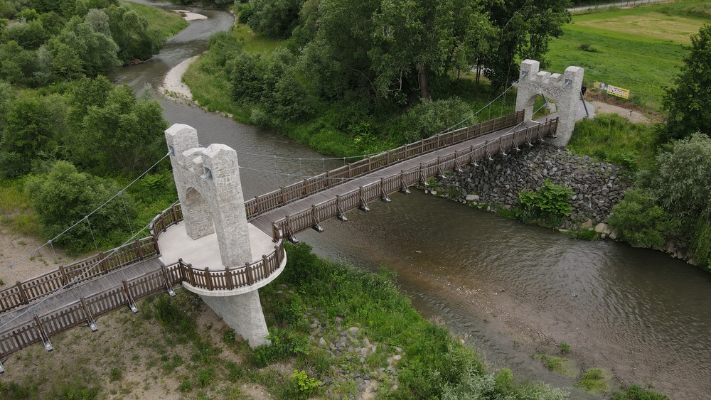
For the Office of the Government of the Slovak Republic, we provided visual and audiovisual mapping of successful projects financed from EU funds during the 2014 – 2020 programming period. Project Google Maps Platform 2 was created as an interactive geolocation tool that presents specific investments across Slovakia to the public in the form of a map, photographs, videos and virtual tours.
Our aim was to capture individual locations so that visitors could not only view the project online, but also locate it precisely and, if interested, plan an in-person visit. The platform connects geographic data with visual content and creates a clear digital guide to completed projects.
As part of the contract, we provided mapping of 60 locations throughout Slovakia, including the creation of photographic documentation, video outputs, 360° footage and materials for virtual reality. Each location was processed to best show the result of the investment, its surroundings, functionality and benefits to the public.
The project builds on the communication activities of the Office of the Government of the Slovak Republic, which aimed to present successfully completed projects financed from ESIF during the 2014 – 2020 programming period across Slovakia, including project data, photo or video documentation. For each project, the Office of the Government of the Slovak Republic also stated that Google Maps Platform 2 allows users to view photographs and videos, find the exact location of the project and visit it in person.